


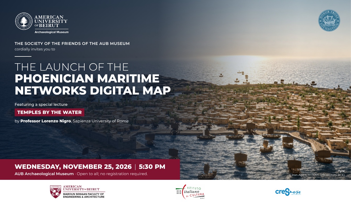
The AUB Archaeological Museum and the Society of the Friends of the AUB Museum, in collaboration with the Italian Cultural Institute in Beirut, present Phoenician Maritime Networks. It is an interactive digital map, shown on a projection table, about the maritime world of the Phoenicians. The map starts in the Phoenician homeland: Tyre, Sidon, Byblos, Beirut, Sarepta, Amrit and Tell el-Burak. From there it follows the Phoenicians to Cyprus, the Aegean, Egypt, Italy, Malta, Carthage, the Iberian Peninsula and Morocco.
For each site, visitors can read a text about it, see a bibliography, and look at photographs and 3D models of the finds. Five cities are rebuilt digitally in 3D: Tyre, Carthage, Amrit, Tell el-Burak and Sarepta. Each model is presented as an interpretation based on archaeological evidence.
The map treats the sea as a space people lived in, not as empty distance. It uses least-cost path analysis, which takes winds, currents and the shape of the coast into account, to rebuild the most likely sailing routes. Distances across the Mediterranean are measured in “sailing days” rather than kilometers. This shows why some harbors became hubs. It also shows how goods, skills and ideas spread, from the alphabet to purple dye, glass and wine.
The project is based on research carried out between April 2024 and October 2025. It was made by the Museum team with DITCH (Digital Innovation and Technology for Cultural Heritage).
The launch opens with the lecture “Temples by the Water” by Professor Lorenzo Nigro of Sapienza University of Rome. Since 2002 he has led Sapienza’s excavations at Motya, a Phoenician island-city in Sicily. He also co-directs the joint Tunisian–Italian mission at Carthage.
Open to all.